Chapter 4
The Avalanche Terrain Exposure Scale
The Avalanche Terrain Exposure Scale, or ATES, is a system of rating backcountry terrain based on its exposure to avalanches. Remember, terrain is the constant factor in your calculations to minimize avalanche risk, while the weather and the snowpack are always changing. Improving your skills in evaluating terrain can do a lot to mitigate the influence of those two variables.
The ATES scale divides terrain into three categories: simple (green), challenging (blue), and complex (black). This rating is done by avalanche professionals who use 11 weighted measures to rank a trip or area into one of the three categories. Many popular backcountry zones in Western Canada, the Chic-Choc Mountains of Quebec, and the Long Mountains in Newfoundland have been rated, but it is helpful to understand how these ratings are determined so you can start to make your own judgment in areas that aren’t rated. The ATES exercise at the end of this module will help you with this.
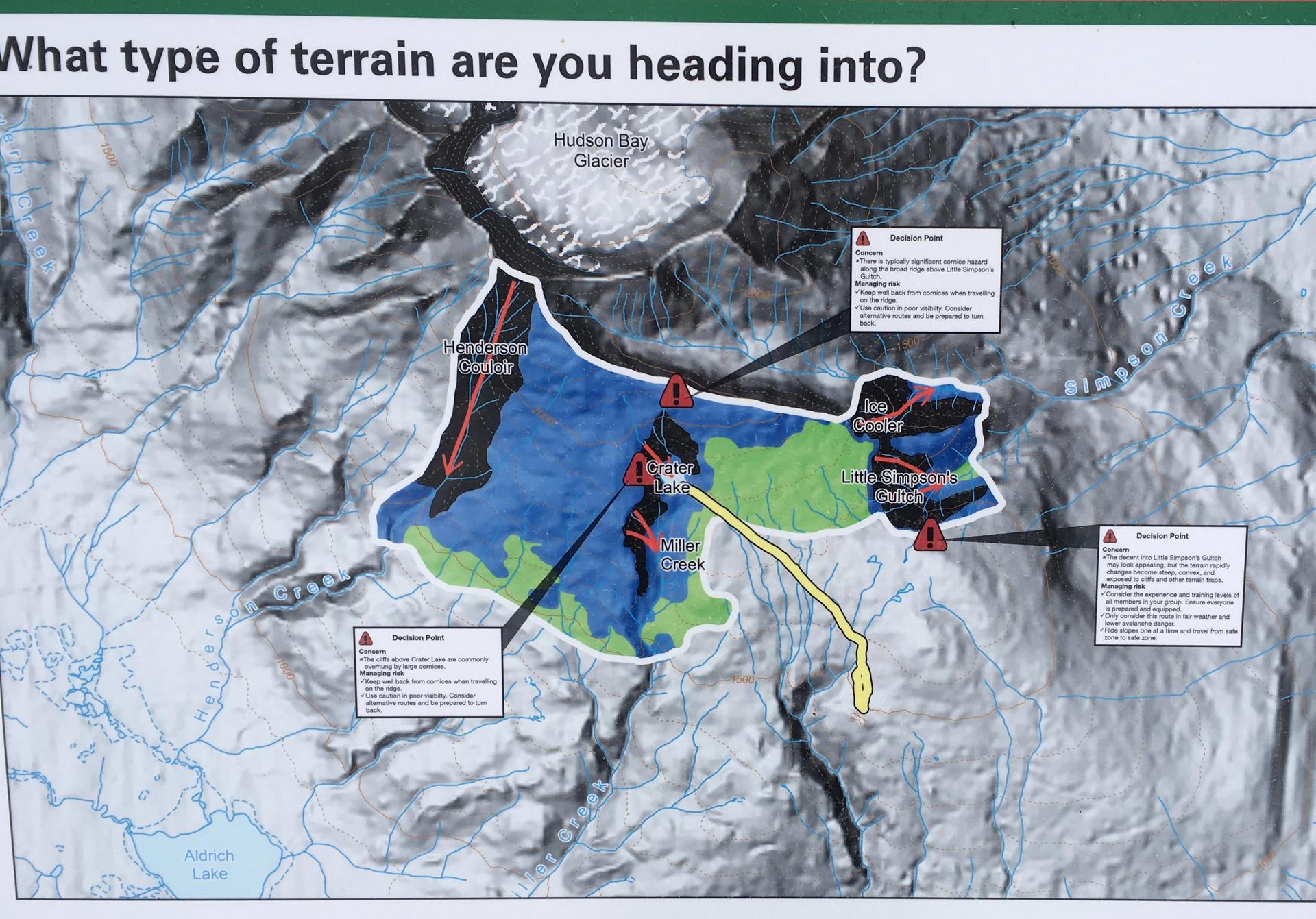
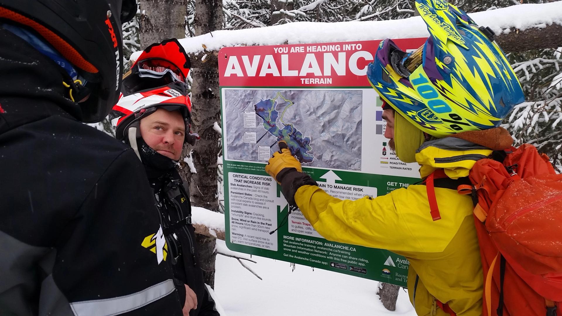
ATES ratings can be found in several places, including the Avalanche Canada website, Parks Canada website, many guidebooks, brochures, and on trailhead signs.