Route Finding Exercises
These exercises will test your ability to navigate through avalanche terrain. You will trace a line from the start point to the end point, seeking to avoid danger areas as you go. Assume the avalanche danger rating is moderate at all elevations.
Please note that while these work on mobile devices, they're easier to use on desktop computers.
Quiz
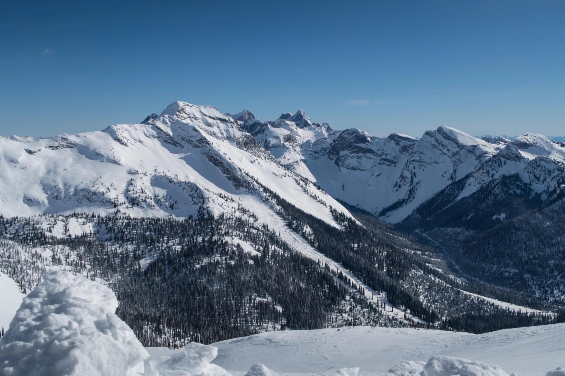
Plot a safe route up from the valley to the alpine.
Saul GreenbergQuiz
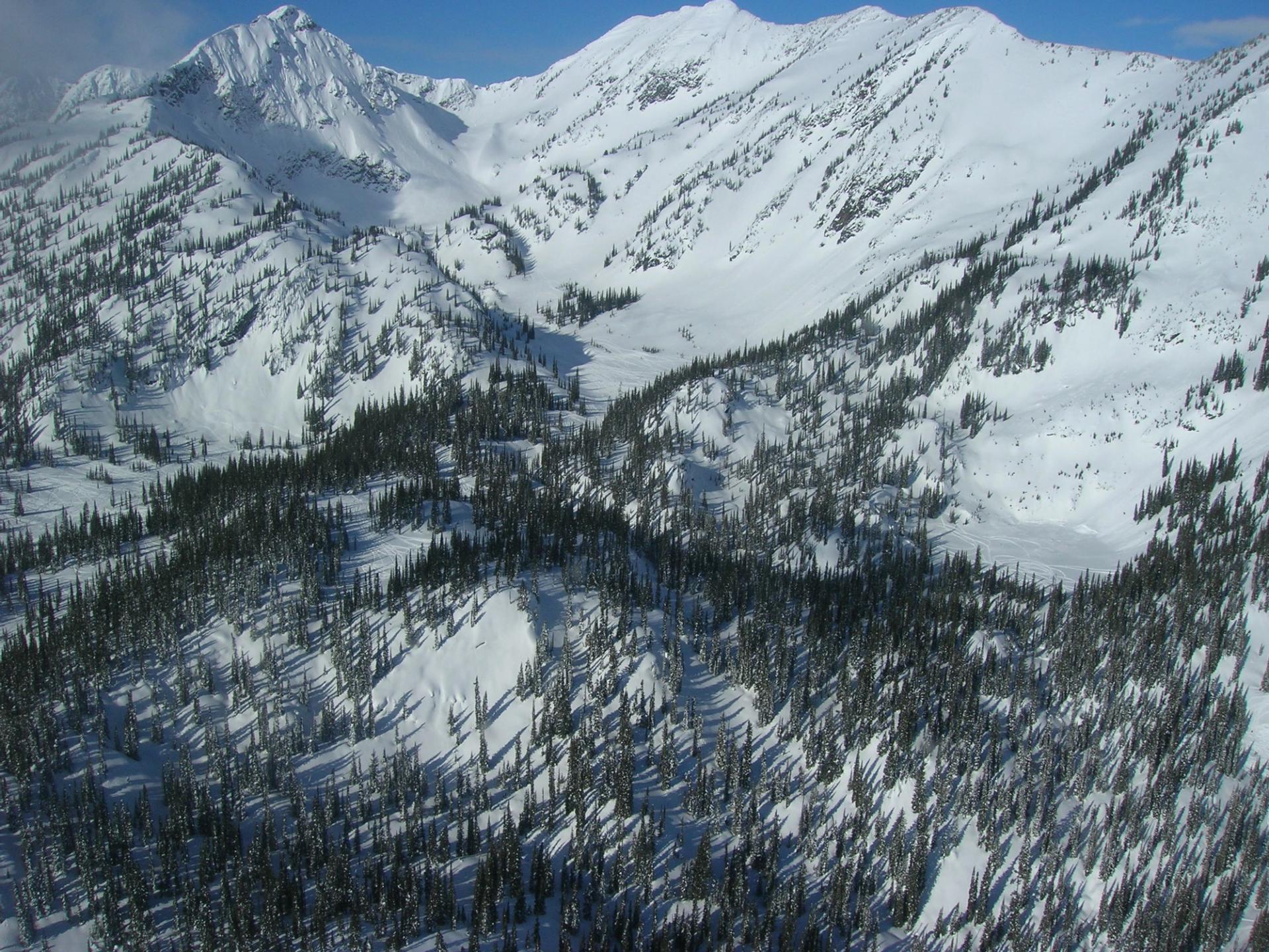
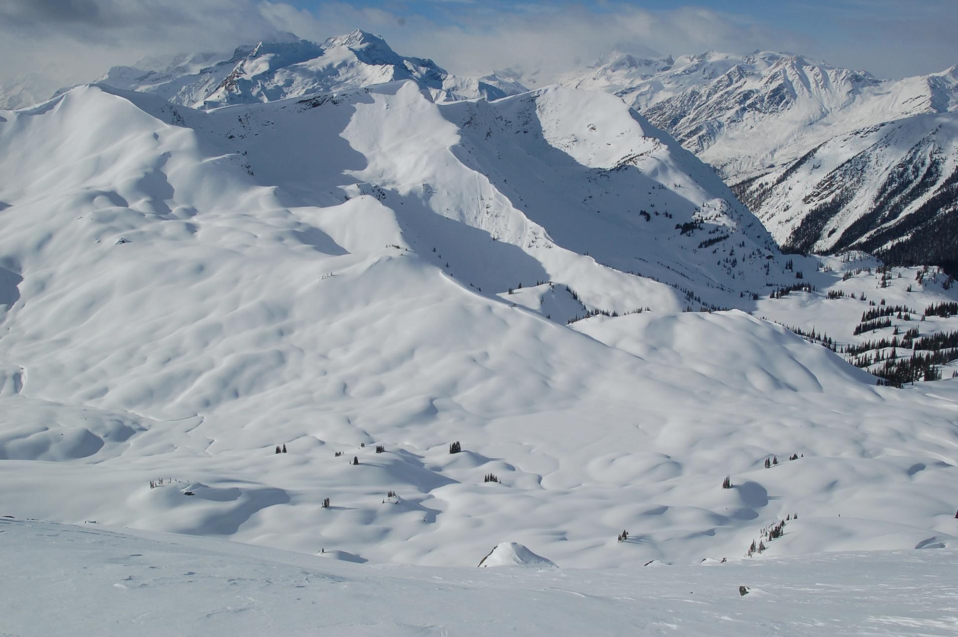
Find the safest route to travel from ridgetop to the valley bottom.
Saul GreenbergQuiz
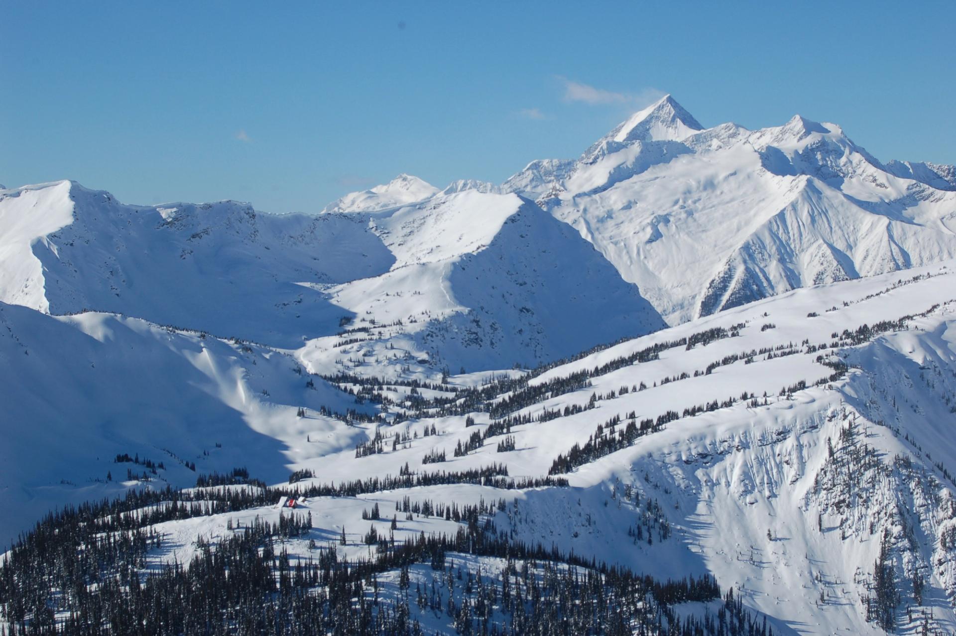
Find a route from below treeline to the edge of the alpine.
Avalanche CanadaQuiz
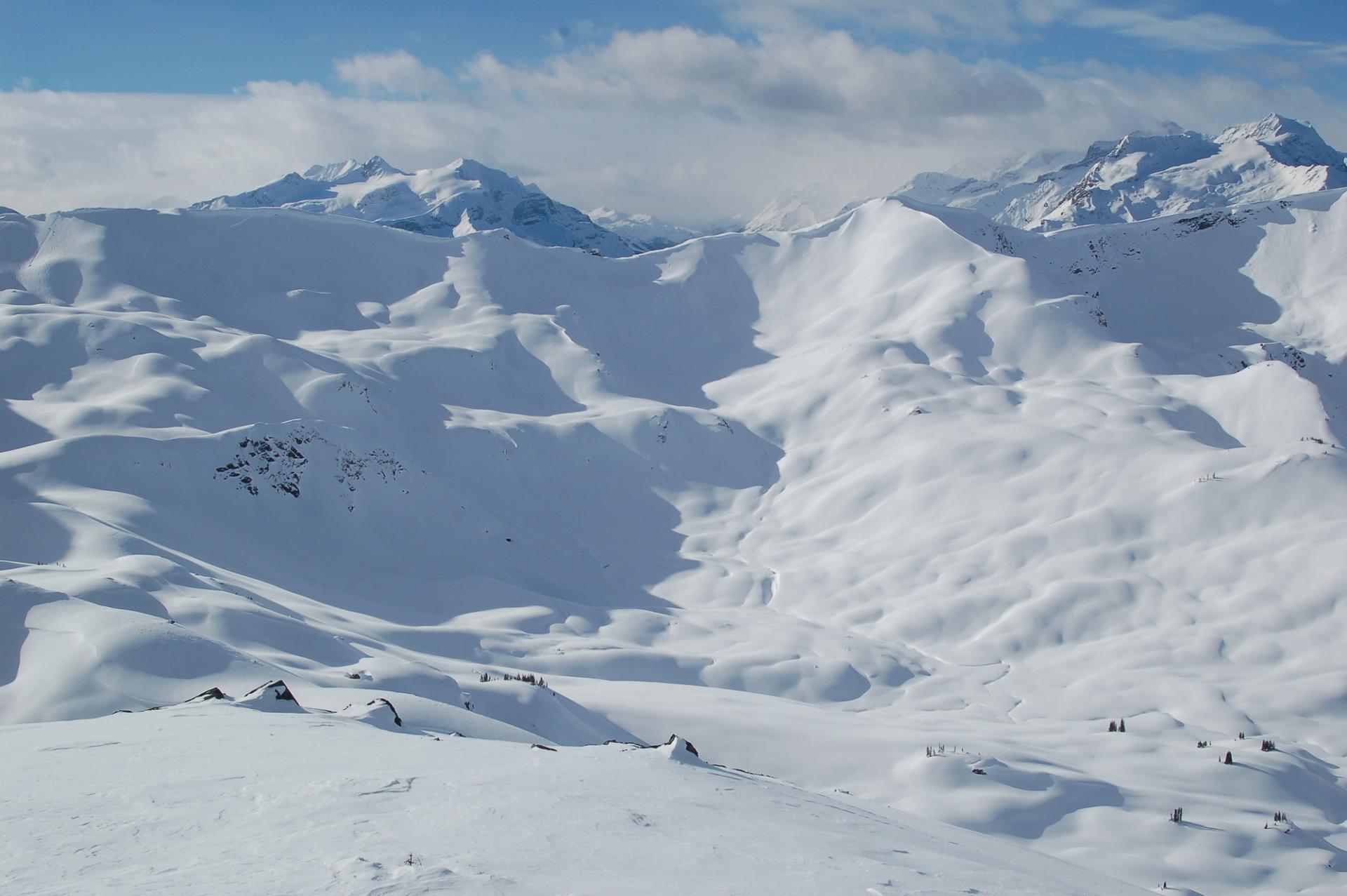
Plot your route from treeline into the alpine.
Avalanche CanadaQuiz
Find the safest route from the ridge to the meadows.
Mark BenderQuiz
Find your way from the meadows to the top of the ridge.
Mark Bender