Outdated Browser
Internet Explorer is not supported. Please
upgrade your browser
.
Settings
Language
English
Français
Theme
Light
Dark
Navigation
Home
fr
Introduction
fr
About Avy Savvy
fr
Using Avy Savvy
fr
What is an Avalanche?
fr
Types of Avalanches
fr
How Do Avalanches Form?
fr
How Do Avalanches Start?
fr
Avalanche Sizes
fr
Avalanche Formation Quiz
fr
Where Do Avalanches Happen?
fr
Slope Angle
fr
Slope Size & Shape
fr
Terrain Traps
fr
Slope Aspect
fr
Avalanche Terrain Quiz
fr
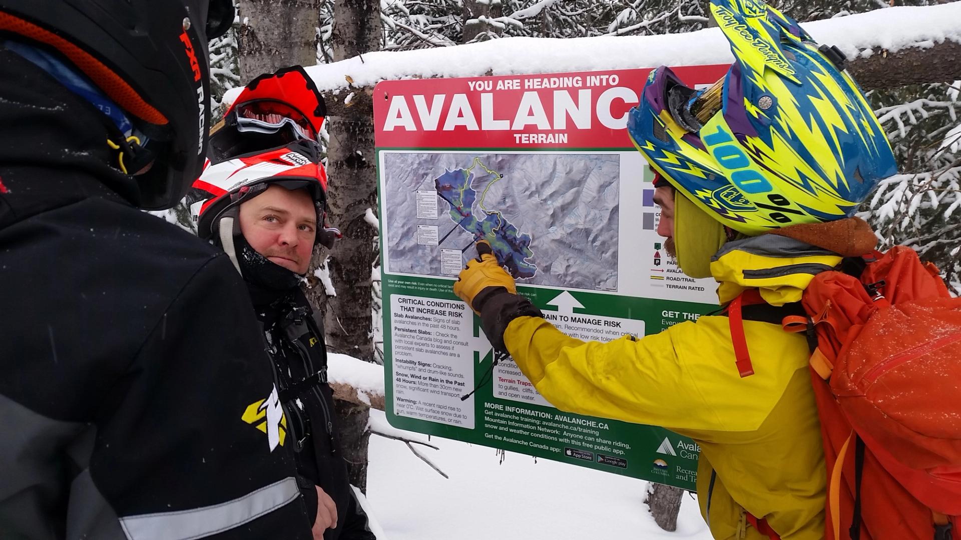
The Avalanche Terrain Exposure Scale
fr
Simple Terrain
fr
Challenging Terrain
fr
Complex Terrain
fr
The Avaluator Trip Planner
fr
Online Trip Planner
fr
Avaluator Trip Planner Exercises
fr
The Avalanche Forecast
fr
Danger Ratings
fr
Avalanche Problems
fr
Storm Slabs
fr
Wind Slabs
fr
Persistent Slabs
fr
Deep Persistent Slabs
fr
Wet Slabs
fr
Cornices
fr
Loose Wet
fr
Loose Dry
fr
Details
fr
Avalanche Forecast quiz
fr
Route Choice Exercises
fr
The Daily Process
fr
Get the Forecast
fr
Make a Trip Plan
fr
Check Your Gear
fr
Verify Conditions
fr
Good Travel Habits
fr
Signs of Instability
fr
Slope Evaluation
fr
Reflect on Your Day
fr
Route Finding Exercises
fr
Companion Rescue
fr
Signal Search
fr
Coarse Search
fr
Fine Search
fr
Probing
fr
Shovelling
fr
When to Call for Help
fr
What to Do if You Get Caught
fr
Backcountry Resources
fr
Avalanche Canada’s Online
Avalanche Tutorial
1 - Introduction
2 - What is an avalanche?
3 - Where Do Avalanches Happen?
4 - The Avalanche Terrain Exposure Scale
5 - The Avalanche Forecast
6 - The Daily Process
7 - Companion Rescue
8 - Backcountry Resources
Supported By
Government of Canada’s Emergency Community Support Fund
Community Foundations Canada
Support Us
Donate to Avalanche Canada’s Public Safety Programs
Powered By